

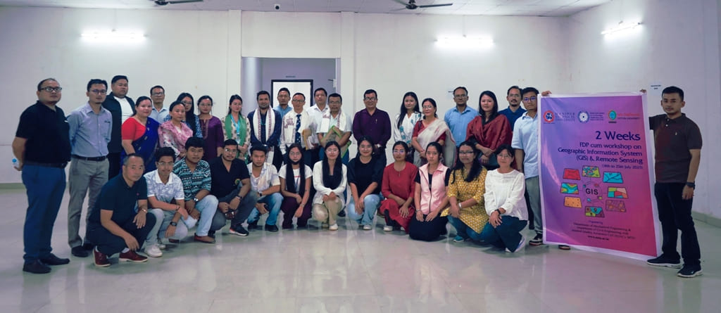
Manipur Technical University (MTU) inaugurated a two-week Faculty Development Programme (FDP) cum Workshop on Geographic Information Systems (GIS) and Remote Sensing at its Imphal campus. The initiative is jointly organised by the Department of Mechanical Engineering and the Department of Civil Engineering, in collaboration with Cotton University, Guwahati. The programme is sponsored by the North East Centre for Technology Application and Reach (NECTAR), Department of Science and Technology, Government of India.
Aimed at equipping faculty members, researchers, engineers, and professionals with basic knowledge and practical skills in GIS, remote sensing, and spatial data analysis, the programme focuses on key areas such as infrastructure development, environmental management, urban planning, disaster risk reduction, and smart governance.
The inaugural function was attended by personalities from academia, government, and the research community. Addressing the participants, the Registrar of MTU highlighted the university’s commitment to promoting technological advancement in the region. “FDP underlines an important milestone in MTU’s endeavor to power the region with technology. Being the first and the only technical university of Manipur, we are dedicated towards filling the knowledge gap in emerging technologies like GIS and Remote Sensing that are pivotal for North-East’s sustainable development and disaster resilience.” he stated.
Dr. Meinam Annebushan Singh, Course Convenor, and Dr. Khagokpam Gopal Krishna Singh, Co-Convenor, informed that the two-week programme will feature technical lectures by experts from NECTAR, technical training, case studies, and project learning.
More than 35 participants, including faculty members and students from various universities, colleges, and institutes, have registered for the workshop, reflecting growing interest in geospatial technologies and their practical applications across diverse sectors.
GIS, Remote Sensing workshop begins at Manipur Technical University
916